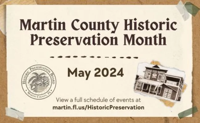


May is Martin County Historic Preservation Month! The Martin County Historic Preservation Board has planned events throughout the county during the month of May to celebrate local treasures that are the fabric of our community. We invite you to join us! Check out the list of events.
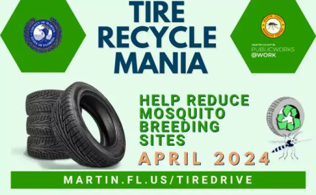
Martin County is hosting a tire drive in April to encourage residents to recycle tires. This drive is held annually to reduce mosquito breeding sites while it is still the dry season. Mosquitoes can lay hundreds of eggs in a single discarded tire. Recycling your tires with Mosquito Control reduces mosquito breeding sites and is a FREE service to Martin County residents!
View Fiscal Year 2023 project highlights, achievements and financial data for the Martin County CRA areas.
Martin County is seeking applications for individuals interested in filling a vacancy on the Community Development Block Grant (CDBG) Citizen Advisory Task Force. This vacancy must be filled by a resident of unincorporated Martin County from a low to moderate income household. Task force members serve without compensation and are requested to submit an application by Friday, April 19.
View our yearly report featuring highlights of County activities and future goals.

Your County. Your Newsletter.